Matapouri Estuary
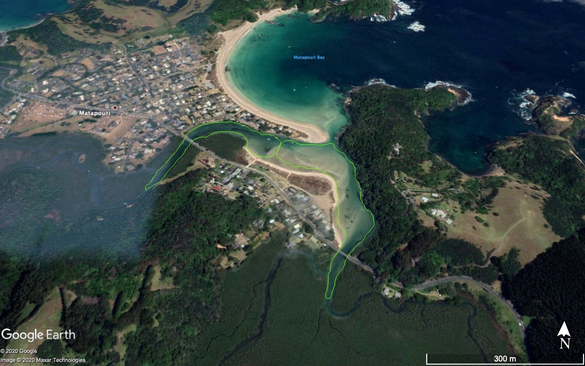
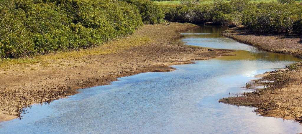
Matapouri Estuary is a small tidal estuary (35 ha in size) that opens out into the southern end of Matapouri Bay (an internationally recognised beach and holiday destination). The estuary is fed by two catchment streams: Te Wairoa feeding the northern arm; and Parangarahu, the southern arm. The tidal flow is strong and affects even the upper reaches of the estuary. Freshwater inputs are relatively low, unless heavy rain has occurred. Both arms of the estuary support mangrove and salt marsh buffered zones, but also have cleared areas used for grazing and housing. The Matapouri catchment land use is primarily agriculture and forestry, as well as an increasing amount of lifestyle blocks. Matapouri settlement has been experiencing substantial residential development over the past two to three decades, especially on the eastern side of the estuary (see satellite image below). Runoff from land use in the catchment is significant, despite some small increase in riparian planting, resulting in periodic water quality warnings being issued by Northland Regional Council after rainfall events. Several threatened bird species frequent or visit the estuary mainly for feeding and breeding, including Australasian bittern, fern bird, banded rail and pateke.
Matapouri Estuary has high ecological, biodiversity and cultural value. The estuary comprises varied marine habitats, including salt-marshes, mangroves, intertidal sand flats, and channels. Each of these habitats contains distinctive plant and animal communities, including sea grass areas, pipi and cockle beds and nursery areas for juveniles of many fish and invertebrate species.
